
Radar Integration: Improving Drone Safety Precision


As part of our commitment to creating safer spaces, we carefully select and integrate a wide range of drone detection sensors into our CUAS ecosystem. A core component is radar.
Below, we explore the intricacies of radar systems, the unique advantages that they bring to sites of any size, and their relevance in the face of emerging detection technologies. Read on to discover:
- The unique benefits that radar systems bring to drone detection
- How radar systems have evolved with sophisticated capabilities
- How a sophisticated command and control platform (C2) counteracts inherent sensor limitations
Understanding radar systems
Radar systems have been recognised for their ability to detect aerial and maritime threats since their pivotal role in World War II. They emit electromagnetic signals at specific frequencies and detect physical objects by analysing the reflections of these signals.
By integrating radars into an intelligent CUAS network, the data gathered contributes to the entire drone detection process, facilitating effective threat detection, tracking and classification (identification) and response.
How can radar systems enhance drone detection?
Radar is an invaluable component of any CUAS system because it can detect both cooperative and non-cooperative targets.
The data obtained from radar systems can be fused with that from other types of sensors in an intelligent C2 platform to build a multi-layered sensor network for rapid classification and threat management.
One of the primary advantages of radar is detection range and the precision with which it can track small, slow or fast-moving targets, even in complex environments. Depending on the threat definition, radars can be calibrated to optimise detection range from less than 1 km out to 10 km and beyond and at varying altitudes. The choice of radar operating frequency will determine its ability to detect different UAV sizes and also the radar performance in adverse weather conditions, while micro-doppler signal analysis of the returned signals from a drone’s fast rotating blades allows for the continuous detection of hovering drones.
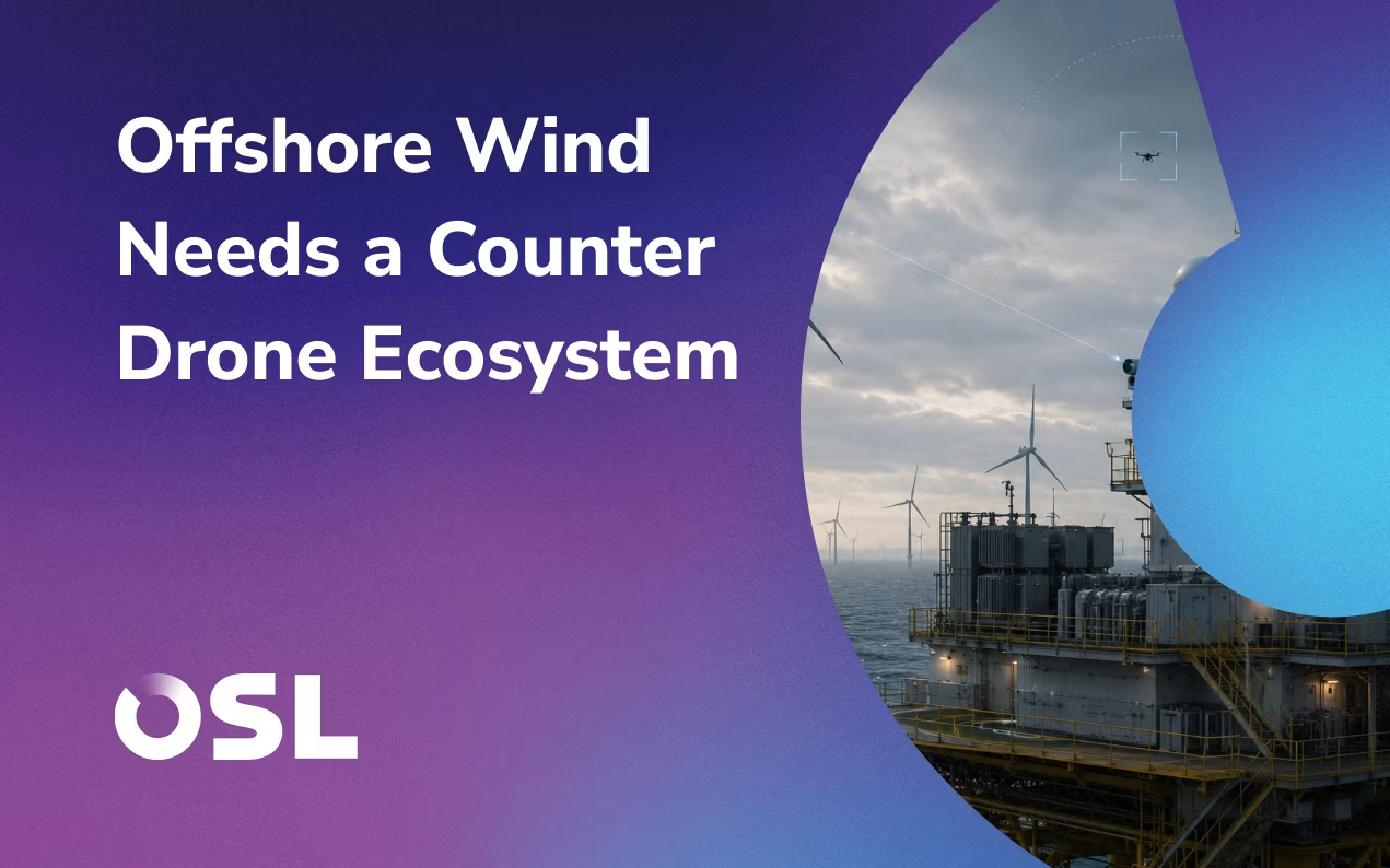
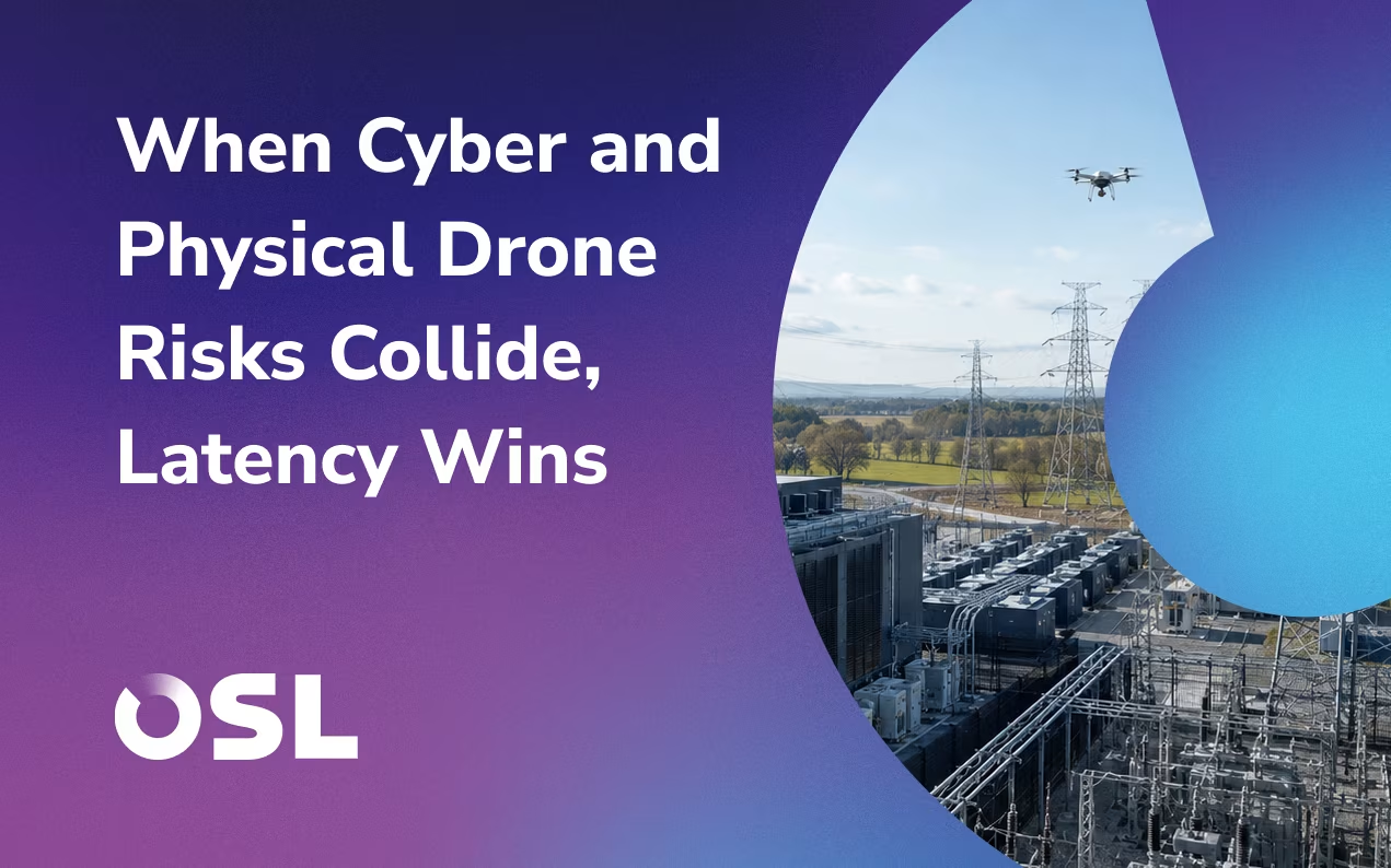
Radar systems excel in perimeter protection by providing a comprehensive view of the surroundings, including both land and sea environments. By monitoring activity in the air and on the ground, these sensors provide an early detection capability of an approaching incursion, before continuously tracking the target throughout a monitored area. This proactive approach enables pre-emptive response measures for enhanced security.
When operating at higher gigahertz frequencies, radar systems can offer precise range measurement resolutions down to 15 centimetres. This level of accuracy is crucial for tracking slow-moving targets in situations where precise positional information is required. For drone detection, radar sensors can potentially provide 2D or 3D positioning data on the drone – identifying the specific position in 3D, measuring direction (azimuth) and elevation of aerial objects.
Exploring the ongoing innovation of radar systems
In recent years, radar technology has seen significant innovations that have added efficiency and advanced capabilities to site security.
Advanced signal processing enhances object classification to help discriminate birds from drones, for example. The advent of solid-state, phased array systems increased system reliability, scanning speed, detection ranges and the ability to estimate the elevation angle of the drone.
As signal processing has evolved power consumption and system size have dropped dramatically. While earlier radar systems were bulky and consumed a substantial amount of power, modern systems have become more compact, energy-efficient, portable and cost-effective.
This has resulted in mobile radar solutions that can be easily relocated, allowing for greater coverage and offering more flexible deployment configurations to suit the threat and the operating environment.
Intelligent object classification and reducing false positives
Traditionally, radar systems have faced challenges related to extreme clutter, where objects such as trees, grass and water, reflect signals and create interference.
However, modern radar systems allow operators to set a received signal threshold level which helps to filter out these unwanted signals.
As well as intelligent object classification, radar systems within a C2 platform can cue an electro-optical imaging system for object identification by a CUAS operator. This significantly reduces the potential for false positives. Integration enables a high-resolution daylight visible camera or IR-enabled camera to interrogate objects detected by the radar, providing an accurate visual classification and threat assessment.
Combined, these two sensors significantly reduce the chances of misinterpreting harmless objects, such as commercial aircraft and birds, as potential threats; improving overall operational efficiency.
Seamless C2 integration
For complex sites, deploying multiple radar systems across the perimeter increases the precision and likelihood of drone detection but creates a technical challenge as multiple radar detections can give a confusing picture of the threat – has the system detected a single target or multiple?
This has been a major C2 integration challenge but with our advanced platform, FACE®, multiple radar systems feed data into a single platform which intelligently analyses and fuses data to provide a clear operating picture. So even if multiple radar sensors detect the same object, it is correctly classified as a single threat.
Overcoming the challenges of data fusion
Data fusion is a critical aspect of modern drone detection systems, where multiple sensors are integrated to create a comprehensive and accurate threat picture. Our integrated C2 platform reliably overcomes the technical challenges of data fusion, leading to a clear operating picture for effective threat detection.
To overcome the technical challenges of data fusion and generate a clear threat picture, including overlapping data and data synchronisation, FACE® offers several key capabilities:
Sensor correlation
FACE® effectively correlates data from different sensors, aligning their timing and synchronising their outputs. This correlation enables a seamless fusion of data, reducing confusion and providing a coherent threat picture.
Real-time visualisation
FACE® provides real-time visualisation of the threat picture, offering a comprehensive 2D and 3D representation of the surrounding airspace. The platform displays the specific position, direction and elevation of aerial objects, enhancing situational awareness for CUAS operators.
Adaptability and Scalability
The FACE® platform is designed to be adaptable and scalable, accommodating different types of sensors and adding new ones as technologies evolve. This flexibility ensures that the CUAS ecosystem can stay updated with the latest advancements in drone detection.
Dedicated to providing clear situational intelligence
Radar systems are vital for the detection of uncooperative targets at long range.
At OSL, we specialise in integrating a wide range of sensors, including radar, to provide a comprehensive single integrated operating picture of complex sites, enabling effective threat detection and tracking.
Our specialist capabilities in integrating radar systems with other sensors, along with advanced C2 expertise, ensure maximum situational intelligence even in the most challenging environments. With the power of radar systems harnessed effectively, sites can confidently safeguard themselves against evolving threats.
To learn more, book a free discovery call today to discover how our range of solutions can maximise your situational intelligence.
Editor's Pick

Secure your airspace with adaptive drone defence solutions
Ensure operational safety with multi-layered solutions designed to counter unauthorised drones and protect complex environments.